Overview
Social Mix
Public Space
Amenities
Connections
Final Project
Size
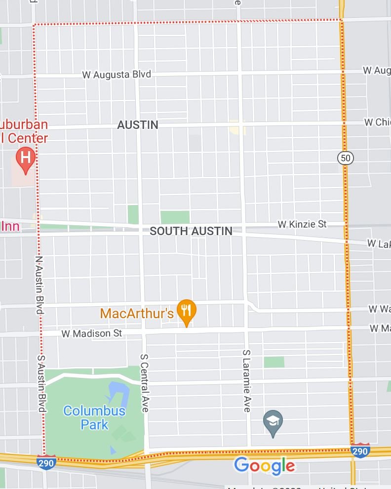
The red line indicates one mile, for scale. Austin has approximately 53,000 residents and encompasses 2,075 acres of land.
Here is a map showing the size of South Austin compared to the rest of the Chicago area.
Identity
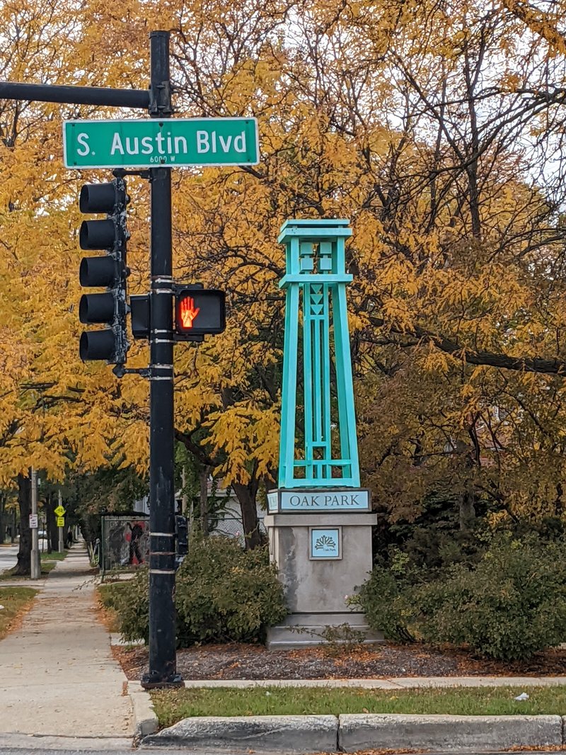
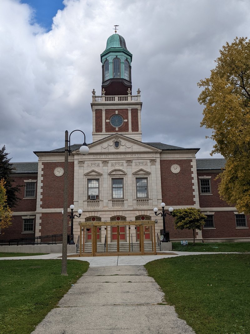
Through signage, landmarks, and public spaces, South Austin displays a recognizable identity and character. The neighborhood is bounded by West Division Street to the North, Austin Boulevard to the West, Route 290 to the south, and Cicero Avenue to the east, though the southern boundary is the most obvious, marked by the noise and concrete of Route 290. Signage marks the southern boundary, proclaiming “Welcome to Austin/Newly Renovated.” Columbus Park marks its southwest corner. On Austin Boulevard, street lamps bear signs reading Austin. In the interior of the neighborhood, just north of the L train line lie Austin City Hall and its namesake park as well as public library and a community center. In this area fliers for a local market event can be found. In this area, some trash cans also say Austin.
Much of this identity is wrapped up in the larger community area of Austin, which contains three other neighborhoods: Galewood, North Austin, and The Island. Nevertheless, these neighborhoods are not indistinguishable, and South Austin’s boundary with North Austin is noticeable simply by virtue of Division Street’s prominence.
While South Austin does cohere as a neighborhood, it contains a great deal of internal variation. There seems to be something of a difference between the parts north of the L train and south of it. South of the tracks, everything feels less dense and quieter. There is plenty of housing, but businesses are not as common and many seem closed. Parks and playgrounds are common, and churches seem omnipresent. To the north, housing seems slightly more dense and commerce abounds, particularly on Chicago Avenue and Division Street. Of course, there are exceptions to this. Austin City Hall and the areas surrounding it, for example, are north of the train tracks but feel like the areas south of it.
Layers
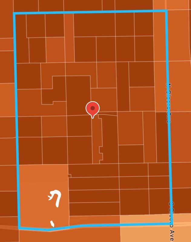
Here is a map showing the census units in South Austin.
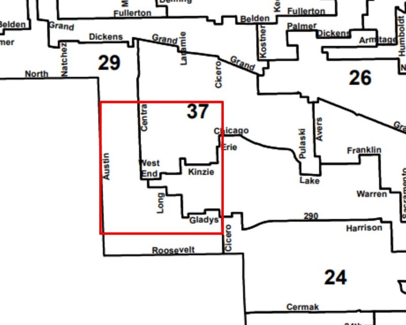
Here is a map showing which wards different parts of South Austin are in, the 29th, 37th, and 28th (unlabeled in this map).
Diagram
I was struck by the number and variety of religious institutions in South Austin. I marked a number of them on a map, though there are others that have closed or may not be registered.
History
Austin’s nomination form for the national register of historic places begins ”Although Austin has officially been part of the city of Chicago since 1899, it is distinctive for the high quality of its historical fabric that recalls its origin as a railroad suburb of the nineteenth century.” South Austin’s neighborhood identity is deeply rooted in its history. A developer named Henry Austin (the namesake of the neighborhood as well as Henry Austin Park) bought 470 acres in 1865 to create a village called Austinville. These acres are now parts of South Austin and Oak Park. He intended for Austinville not only to be a place to live but a community that embodied certain values, temperance most of all. The Encyclopedia of Chicago states that “Austin's intentions for the settlement were clear: home ownership, public amenities such as tree-lined parkways, and gracious living.” These values are still apparent in the green streets and abundant small parks that characterize South Austin.
It was founded as part of Cicero Township, and grew enough in its first decades to gain great political power in town government. Austinians used this influence to build transit lines that made commuting to the city easier. The rest of Cicero disapproved of this and voted Austin out of Cicero Township and into Chicago in 1899. In an attempt to maintain a sense of neighborhood identity, residents decided to build Austin City Hall in 1929 and model it not after any Chicago landmark but Independence Hall in Pennsylvania. While this monument distinguishes Austin from the rest of Chicago, it also ties Austin to other Chicago neighborhoods as it was designed by Michaelsen and Rognstad, who also designed the Gold Dome Building in Garfield Park as well as field houses in Humboldt Park and Douglas Park.
Austin also gained another famous feature in the 1920’s: Columbus Park. It was designed by Jens Jensen, a titan of American landscape architecture. The National Historic Landmarks Program even calls it his masterpiece.
Austin first attracted upwardly mobile German and Scandinavian families, and then Italian and Irish families not long after. In the 1930’s, Greek families also began to move to Austin, and their legacy can be seen in the Greek cultural institutions near Columbus Park. As housing was replaced throughout the twentieth century, the neighborhood became more dense, and began to look more like part of a city, rather than the small town it was founded as.
Between the 1960s and the 1980s, the demographics of Austin changed significantly, with South Austin undergoing the most significant change, becoming 96% African American by 1980.
In 1992, Columbus Park was renovated to reflect its past glory and still delights locals and visitors alike to this day.
References
Google Earth Pro
AIA Columbus Park (illinoisgreatplaces.com)
National Historic Landmarks Program (NHL) (archive.org)
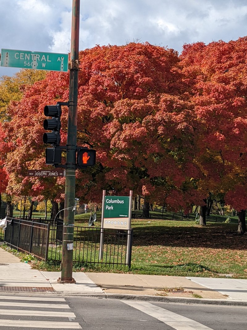
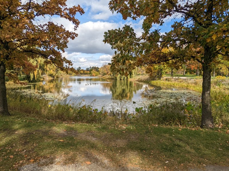
First of all, I think it's hard to deny that Columbus Park is beautiful. It is widely considered to be the crowning achievement of the landscape architect Jens Jensen and exemplifies the Prairie School, of which he was a defining practitioner. Prairie school landscape architecture focuses on the natural beauty of the landscape and seeks to preserve and highlight it. This style is readily apparent in Columbus park, which was meticulously planned but still preserves a natural feel.
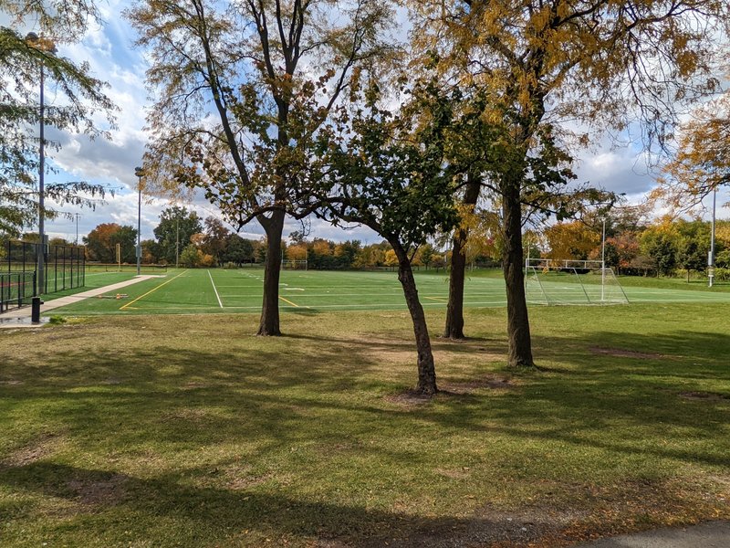
The 141 acre space boasts wide variety of amenities that draw people from all walks of life. Indoors one can find a fitness center, gymnasiums, kitchens, meeting rooms, a senior center and a banquet room. Outdoors, one can see the golf course, tennis courts, basketball courts, a nature area, a path for biking and walking, an outdoor theater, a fishing pond, and a baseball diamond. The refectory, jutting out into the trees and the pond, is often used for weddings. Throughout the year, programs are held, including events for the elderly and camps for children. It is this multiplicity of uses and users that makes it a successful public space, in my opinion. It deliberately brings golfers, baseball leagues, fishermen and women, children, and the elderly together by putting parking lots, entrances, and amenities close together.
Sports and athletics are essential to the life of the park and
take up a majority of its land, largely due to the golf course. The
golf course is surrounded by a fence and can feel separate from the rest
of the park, though there are places from which a park goer can view it
and it is quite pretty.
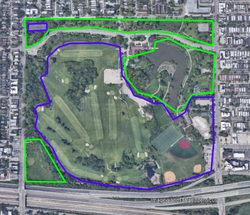
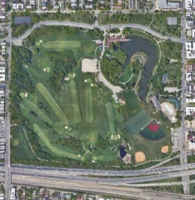
Below is a satellite image of the park, with places devoted to use in athletics are marked in blue. Areas that are more amenable to casual socializing or relaxing are in green.
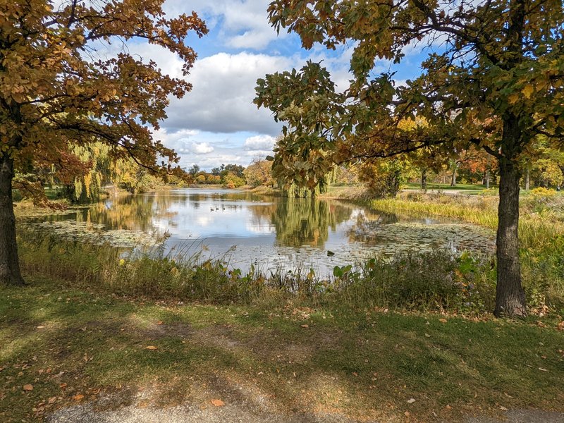
Places to sit with a friend, read a book, or eat lunch are in green. While these places make up only part of the park, Jensen's designs make them feel quite large. Perhaps the most notable feature of these areas is the lagoon, which is surrounded by paths and can be fished in.
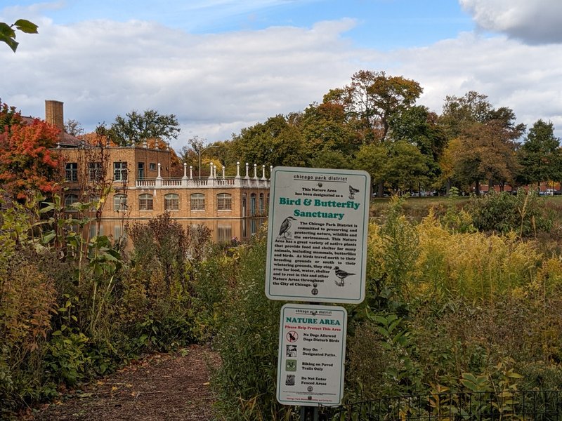
Next to it are the refectory and a nature are.
The plants in the nature area are fairly tall, and it was easy to imagine I was deep in nature and not in a busy city. The paths curve with the lake, and the view from all angles struck me as magnificent. The entire park is aesthetically pleasing, but this area on the northeast side was downright gorgeous.
A busy road cuts through the northernmost portion of the park, making the strip of land north of it feel separate from the rest of the park. The area north of the road feels more like a small kids play park rather than part of a large masterpiece of landscape. It is closer to people's homes and charming on its own, but not as bucolic, and the sound of cars is unavoidable.
Lately, the entire park has been maintained quite well and I get the impression that people use and appreciate it. I explored it on a weekend afternoon and saw people golfing, jogging, and enjoying picnics.
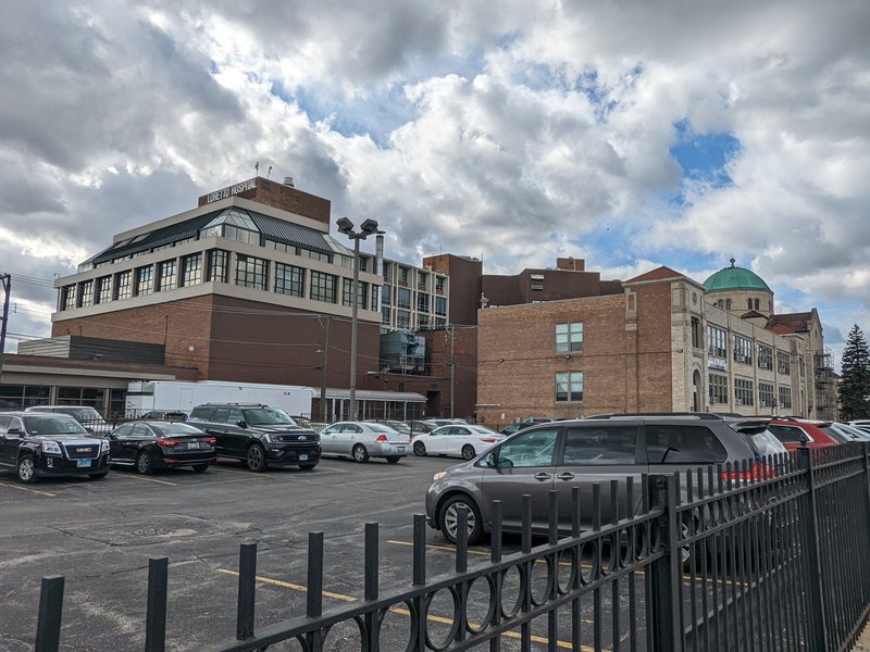
In The Death and Life of Great American Cities, Jane Jacobs writes: "The district, and indeed as many of its internal parts as possible, must serve more than one primary function; preferably more than two. These must insure the presence of people who go outdoors on different schedules and are in the place for different purposes, but who are able to use many facilities in common." South Austin is lucky in this respect. Not only does it serve multiple purposes but many of those purposes run on different schedules. Its largest industry is healthcare which produces 22.6% of the jobs in South Austin. Loretto Hospital (pictured below) is one particularly large employer.
But it is by no means the only one. Hospitals, nursing homes, rehabilitation centers, and other healthcare providers are often open 24 hours a day, with people changing shifts and visiting throughout.
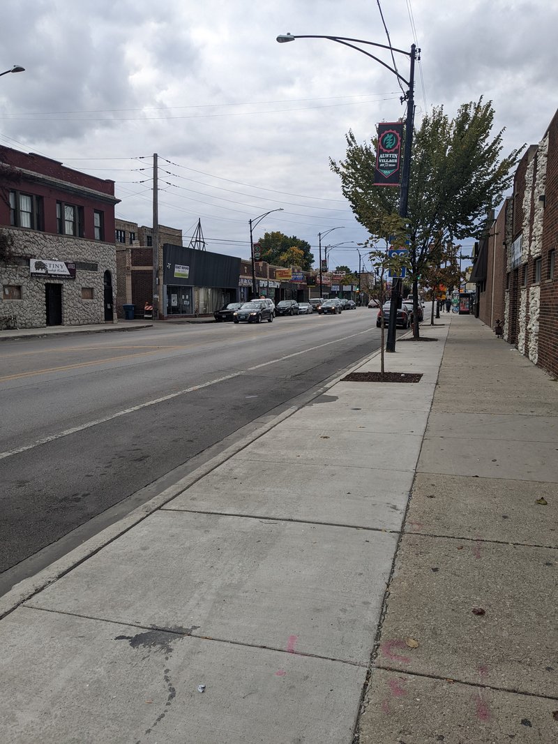
Retail provides 12.4% of jobs in South Austin, appearing largely on well trafficked roads in the northern part of the neighborhood such as Chicago Avenue (pictured below) and Division Street. Retailers also tend to keep long hours and their schedule has them on the streets and sidewalks early in the morning and in the evening.
Transportation is the third largest, making up 10.3% of jobs. While this category encompasses a number of jobs, it's safe to say that a number of them keep atypical hours. Uber and Lyft drivers do not always keep normal hours, for example.
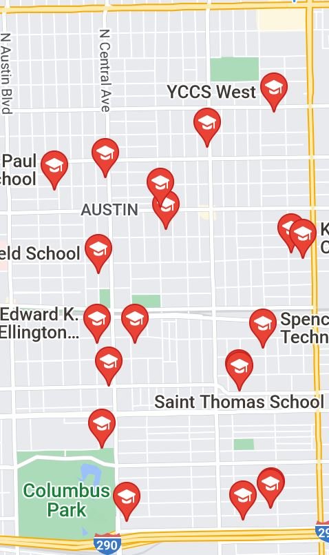
Local institutions also fill in parts of the schedule to keep the neighborhood alive at all hours. There are a genuinely astonishing number of churches in South Austin, which draw people to the neighborhood on weekends when other businesses are closed. Schools (marked on a map below) also serve as venues for evening classes as well as weekend and summer events, and their use helps keep streets from going vacant for long periods of time.
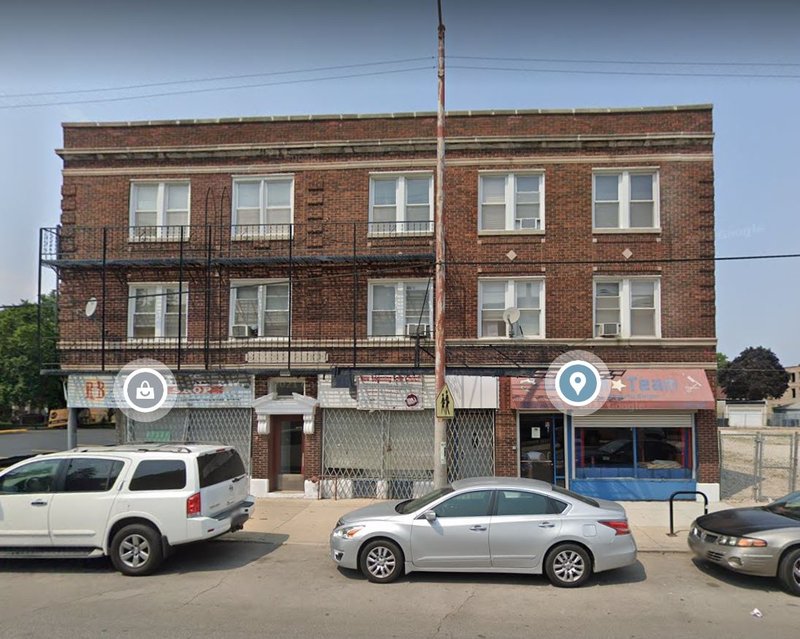
South Austin undoubtedly has a number of primary functions, but it is hard to say whether or not they create a "pool of use" as Jacobs discusses. I would probably have to say it does not, largely because I observed a higher number of shuttered businesses than in other neighborhoods. I feel that a "pool of use" would be able to support more business activity. The ones pictured below are right across the street from Loretto Hospital, for example, and if having people coming and going at all hours was enough to sustain businesses, these would have either stayed open or been replaced rather than lying closed as they are now.
Sources:
Google Maps
The Demographic Statistical Atlas of the United States - Statistical Atlas
Network Type
South Austin uses the Savannah Pattern like most of Chicago. This pattern resembles a grid and is characterized by right angles and repetition, if not complete uniformity. Its advantages include directional orientation, even dispersal of traffic, and controllable lot depth. It can also be easier to navigate than more unpredictable and intricate patterns. While this pattern does not handle incline or environmental irregularities well, these are not an issue in South Austin, which is flat and without natural obstacles. Monotony, on the other hand, is a common weakness of the Savannah Pattern that South Austin undoubtedly suffers from.
Here is a map of the entire neighborhood that shows the Savannah Pattern (not all streets are included in this map due to the number of streets in South Austin).
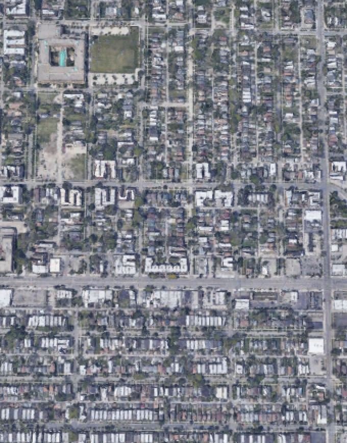
And here is a satellite picture of a part of South Austin, showing the Savannah Patten in more detail.
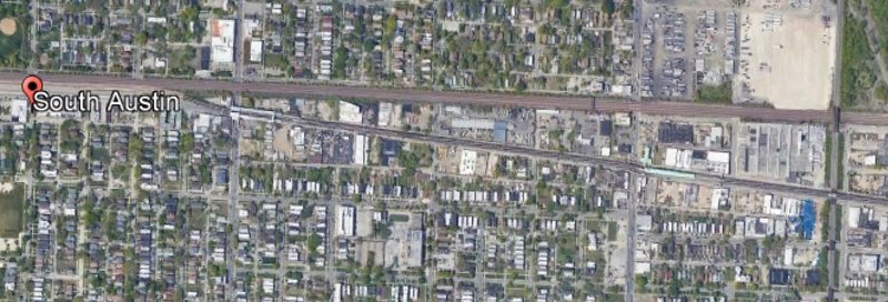
South Austin conforms to the Savannah Pattern more than much of the rest of Chicago, in fact. Exceptions to this pattern are very limited, including little more than Jackson Boulevard curving through Columbus Park and the area around the train tracks, which do not line up the directional orientation of the streets. These two areas (pictured below) tend more toward the Nantucket Pattern, which is less consistent and more able to handle irregularities.
Block Type
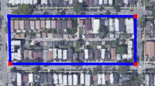
With essentially no exceptions, there is only one type of block in South Austin: the elongated block. Elongated blocks usually have alleys which can serve a number of functions conveniently. An elongated block's depth is fixed, but its width is not, allowing for both standardization and flexibility. This can be seen below. While there is some variation in lot width, depth is uniform.
Thoroughfare Type
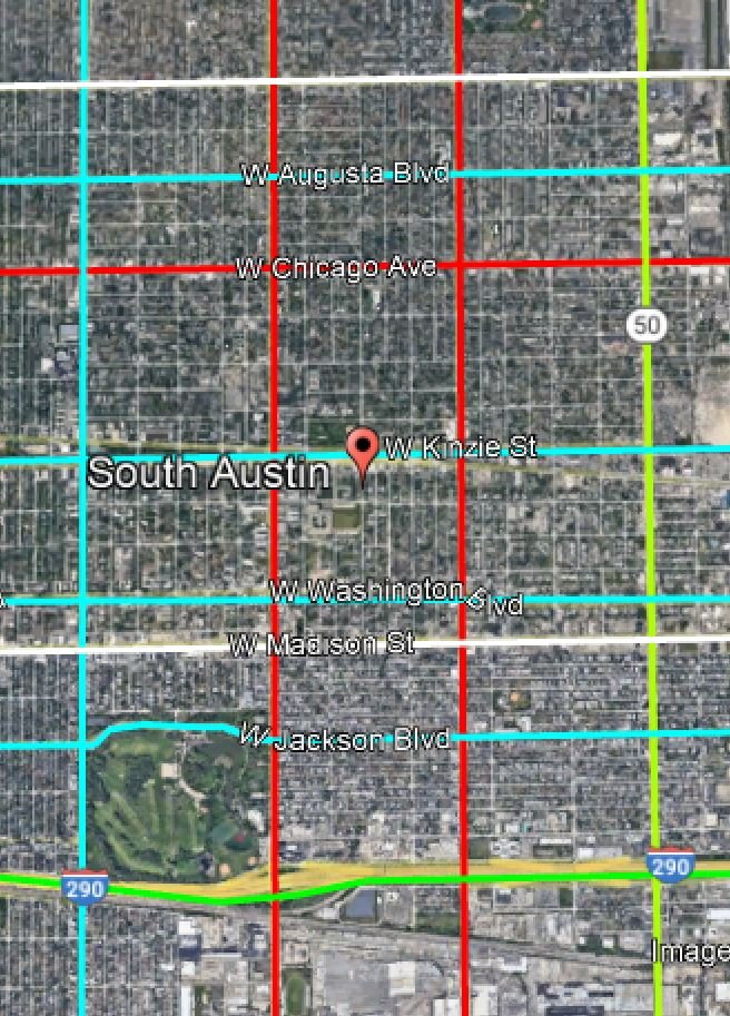
The major thoroughfares of South Austin include roads, highways, streets, and boulevards, as outlined below.
Boulevards (in blue) allow many vehicles to travel at moderate speeds. Avenues (in red) have a similar vehicle capacity to boulevards but are somewhat slower. According to the Lexicon of New Urbanism, streets (in white) are "a local urban Thoroughfare of low speed and capacity." This definition does not fully reflect the streets indicated above though, which are not local. Highways (in green) allow for high vehicle capacity and speed.
Local streets and alleys are the most common type of thoroughfares. These streets do conform to the Lexicon's definition. Alleys are mostly used for services (such as garbage collection) and parking and are characteristic of the elongated blocks that make up the neighborhoods.
Connection Analysis
South Austin is poorly connected. The Victoria Transport Policy Institute (VTPI) published a list of conditions that make a neighborhood well connected and South Austin satisfies most of them. The VTPI states that a well connected neighborhood should keep block size to 5-12 acres. A vast majority of blocks in South Austin take up less than 5 acres, and you would be hard pressed to find any larger than 7 acres. The VTPI also states that street pavement width should stay below 24-48 feet. South Austin does not meet this exactly, with some of the larger thoroughfares such as Madison Street at about 80 feet. In fairness, South Austin is a large neighborhood with a population over 50,000 and an area of over 2000 acres and these wider thoroughfares make up a vast minority. Most residential streets, which make up a vast majority of thoroughfares, are less than 30 feet wide. Intersection spacing is less beneficial to connectivity. The residential blocks that make up most of South Austin are severely elongated, ranging from 500 to 1000 feet in length. They are usually less than 300 feet wide, meaning some intersection spacing is low but much is far higher than the VTPI’s recommended 300-400 feet. On arterial thoroughfares, the intersection spacing regularly exceeds VTPI’s recommendation of 1000 feet. There are few pedestrian crossings between intersections, meaning that pedestrians must often walk over two tenths of a mile to reach a crossing. Even when traveling perpendicular to the long side of blocks, intersections often lack marked crossings.
Connectivity is undoubtedly a problem in South Austin. There are many cases where someone would have to walk over a quarter mile to get somewhere less than 500 feet away from them. This limits the sense of community between people from different blocks and discourages those who live there from a walking as a means of transport.
Sources
Google Earth
The Lexicon of New Urbanism
The US Census
Improving South Austin's Amenities
Jane Jacobs distinguishes between two types of use: primary and secondary. She describes primary uses as "those which, in themselves, bring people to a specific place because they are anchorages" and secondary uses as "enterprises that grow in response to the presence of primary uses, to serve the people the primary uses draw." While neither type of use is abundant in and around South Austin, primary uses come closer to meeting the neighborhood's needs than secondary. The neighborhoods boasts numerous religious institutions, healthcare facilities, historical sites, and a magnificent park, all of which should bring people in to the neighborhood. And South Austin residents are employed in diverse fields (as I discuss in my 'Amenities' section). Yet the neighborhood lacks the rich, diverse, "effective pool of use" that, according to Jacobs, is necessary for a safe and vital neighborhood. I attribute this problem to a lack of secondary uses. Thus, I have devised three possible interventions that could increase the number of secondary use businesses in South Austin. These interventions could also improve neighborhood identity and connectivity as well.
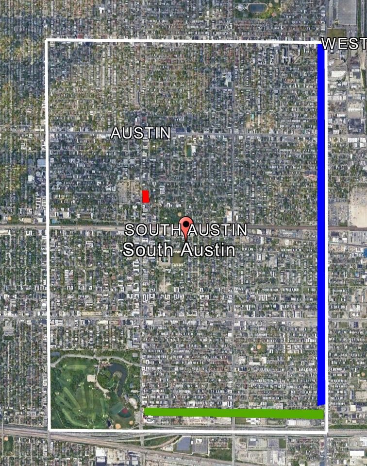
Intervention 1: Slowing down traffic and increasing pedestrian accommodations on North Cicero Avenue (in blue on the map)
North Cicero Avenue (Route 50) forms the eastern boundary of South Austin. It is a heavily trafficked and fast moving thoroughfare with a number of primary use, particularly on its east side, which forms the western boundary of West Garfield Park and Humboldt Park. Despite the number of people who drive down or work on Cicero, the South Austin side of the street is largely wasted space.
I believe, however, that it could be fertile ground for secondary uses. I propose opening up its commercial potential by taking measures to slow down traffic and increase usability for pedestrians. I believe that making people slow down would both increase the visibility of businesses on Cicero and make it a more pleasant place for foot traffic. These conditions would draw businesses to the area. The Project for Public Spaces (PPS) details twelve methods for calming traffic. Of these, adding speed humps, tightening corners, widening sidewalks, and adding diagonal parking seem the most appropriate.
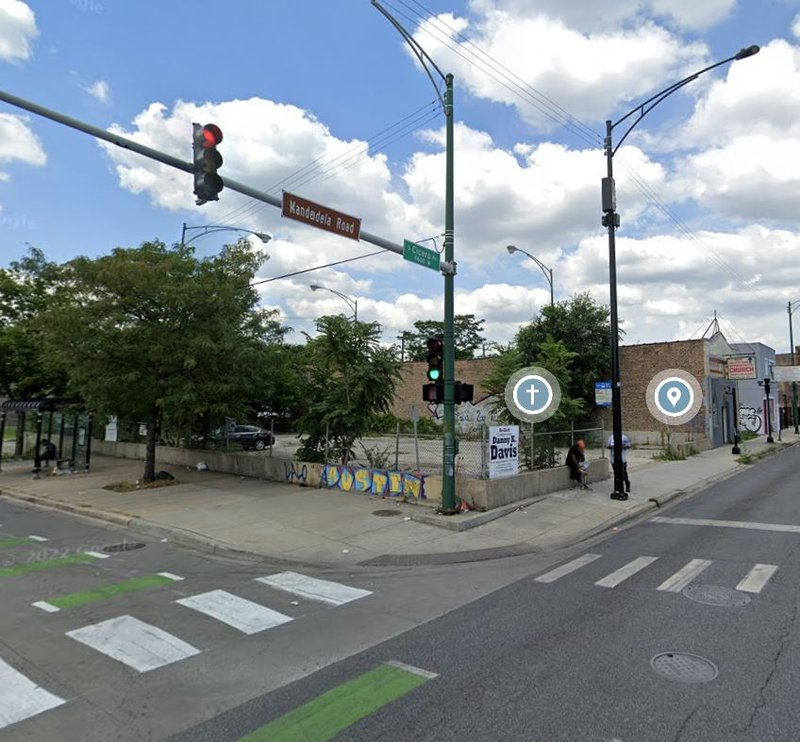
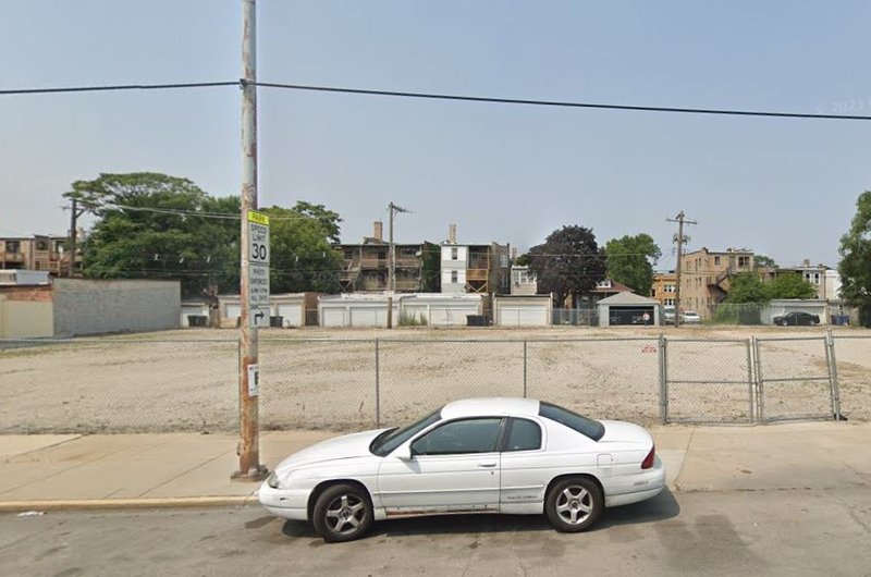
Above is an example of a corner that could and should be tightened. Behind it, we can see a vacant corner lot that could be a business or outdoor public space, but is currently neglected. Tightening corners and widening sidewalks would make pedestrians feel more comfortable walking or spending time in the area, and diagonal parking would both calm traffic and reduce the need for lots like this to be used for parking.
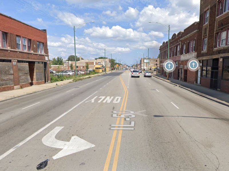
While I consider revitalizing Cicero Ave. to be one intervention with multiple parts, there is one part that stands out in terms of importance and I would choose if I could only make one change: adding safe, well-marked pedestrian crossings. Above is a view of the street stretching out of view without a crossing in sight. Without crossings, those who work at the primary uses on the east side of the street cannot even walk across the street for lunch without taking a significant detour. This needs to be improved if secondary uses are to prosper there.
Intervention 2: Revitalizing the Austin Community and Family Center (in red on the map)
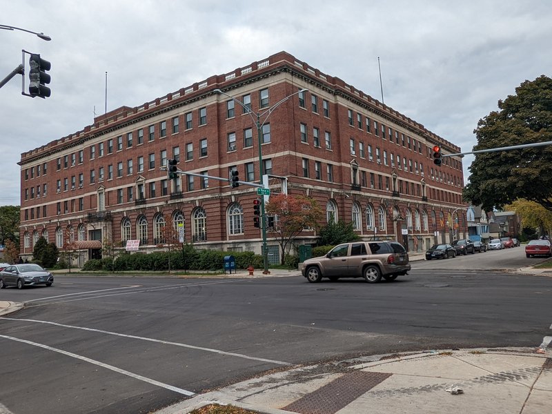
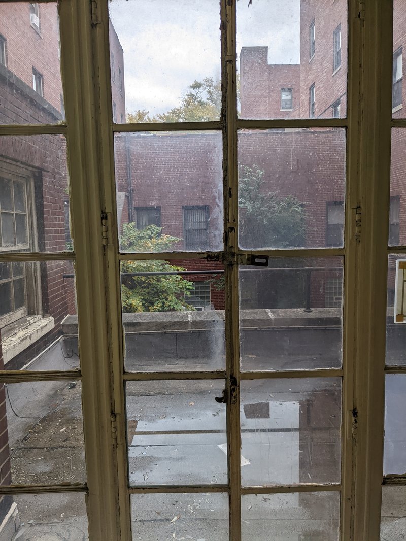
Above is a grand old building containing the Austin Community and Family Center (ACFC) as well as other social services such as a YMCA, a treatment center, and the Plaza Arms, an affordable housing source. It is centrally located in South Austin, near a number of churches, a library, and Austin Town Hall, one of its most famous landmarks. It has the potential to provide both important amenities to South Austin residents and reinforce community identity. Sadly, it is is a very sorry state as of now. Below is a picture of the courtyard through a broken window.
A Google Maps review of the Plaza Arms reads "Unfit for humans to live in. Infested with roaches, bedbugs and mice. The restrooms and showers are filthy. Mold and mildew ridden. There is a terrible odor throughout the building emanating from the basement/sewer system." A building in such a condition cannot serve its citizens or reinforce local identity. I propose the entire building be redone and the ACFC, treatment center, and Plaza Arms receive increased funding going forward.
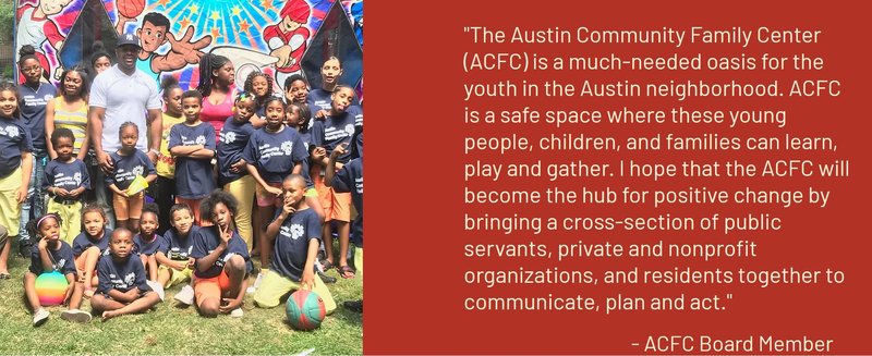
The picture above, taken from the ACFC's website, shows that there are people trying to serve the neighborhood, create local identity, and cement weak bonds through the ACFC, but they need better funding and facilities to do it.
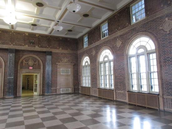
I would specifically suggest redoing the building in a style reminiscent of the Humboldt Park field house (pictured below). Jens Jensen, designer of Columbus Park, also designed that field house and emulating his style would help create a continuous aesthetic for South Austin's public spaces. Columbus Park is widely regarded as the crown jewel of Jensen's impressive career, and reinforcing his influence on the neighborhood could help cement local identity.
Intervention 3: Investing in and promoting business on South Harrison Street (in green on the map)
Lastly, I propose investing in and promoting commercial development, particularly of secondary uses, on South Harrison Street. South Harrison, like Cicero, has primary uses but few secondary ones and plenty of unused space to put secondary use business. Unlike Cicero, it is a quiet street and traffic is less of a factor. Below is a picture of a warehouse (primary use) next to an empty lot that could be a business or public space.
While this is just one example it is representatives. Primary uses in the area include Loretto Hospital, Meade Electric, and Illinois Highway Division - Eisenhower Yard. Pictured below is another unused lot nearby.
I propose investment in secondary use business here because there is enough primary use in South Austin to support it. This area is also close to Route 290, though, meaning businesses in the area could also be convenient stops for highway commuters. This means that businesses on South Harrison could draw diverse business at all hours of the day.
Social Mix
(According to the Simpson Diversity Index)
Diversity Analysis
South Austin is quite diverse in many ways. It is noticeably more diverse than the rest of Austin, West Chicago, and Chicago with regard to age. Its households are as or more diverse in type (single, married, etc.) than its community area, region, and city. Though almost 90% of South Austin residents have less than a college degree, educational attainment is somewhat diverse with a couple of categories. Race, on the other hand, is not very diverse, mirroring Austin's racial diversity but coming short of West Chicago's and Chicago's. It would perhaps be unfair to give West Chicago and Chicago too much credit as much of their diversity is built on racially non-diverse neighborhoods like South Austin.
Sources
Social Explorer
Diversity Analysisk